Category SYNOPTIC METEOROLOGY

What is Synoptic Meteorology?
OIG3 4 16

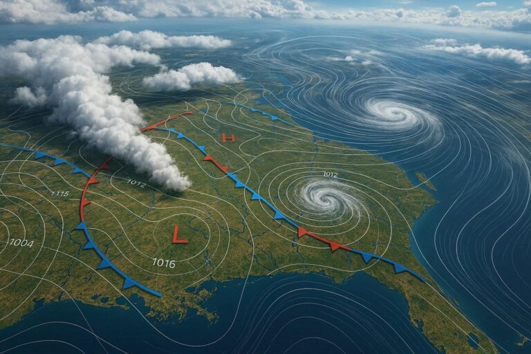
Synoptic meteorology is the branch of atmospheric science that studies large-scale weather systems—such as high and low-pressure systems, fronts, and cyclones—across broad geographic regions and time scales. Meteorologists use synoptic charts, radiosonde data, and numerical weather models to analyze and…
Weather Maps and How to Read Them

OIG1 3 20

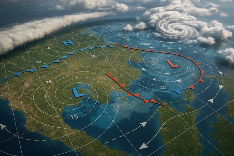
Weather maps are visual tools that display atmospheric conditions—including pressure systems, temperature, precipitation, and fronts—across a geographic area. Learning to read them involves understanding symbols, isobars, color scales, and meteorological notation. This guide covers everything from basic map types to…

Air Masses : Types and Movement

OIG3.z4Ex89cB2jJ

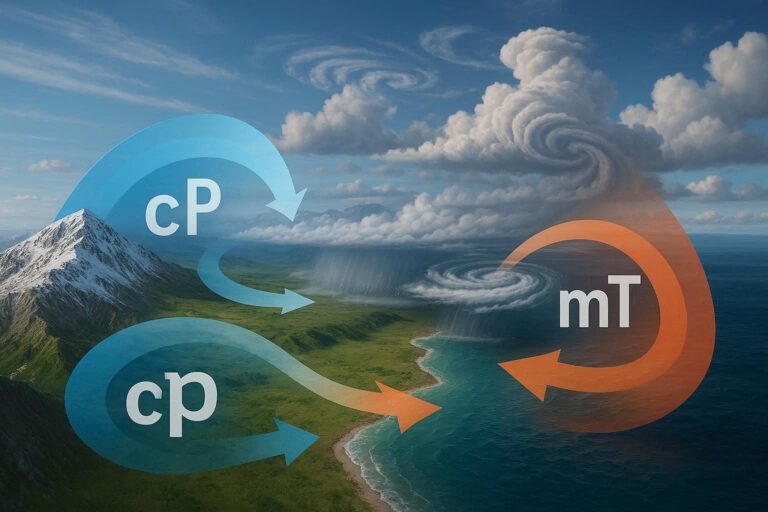
An air mass is a large body of air with uniform temperature and humidity, shaped by the surface it forms over. Air masses are classified by source region—arctic, polar, tropical, or equatorial—and by moisture content. Their movement drives most of…

Fronts : Cold, Warm, Occluded & Stationary

OIG2 93

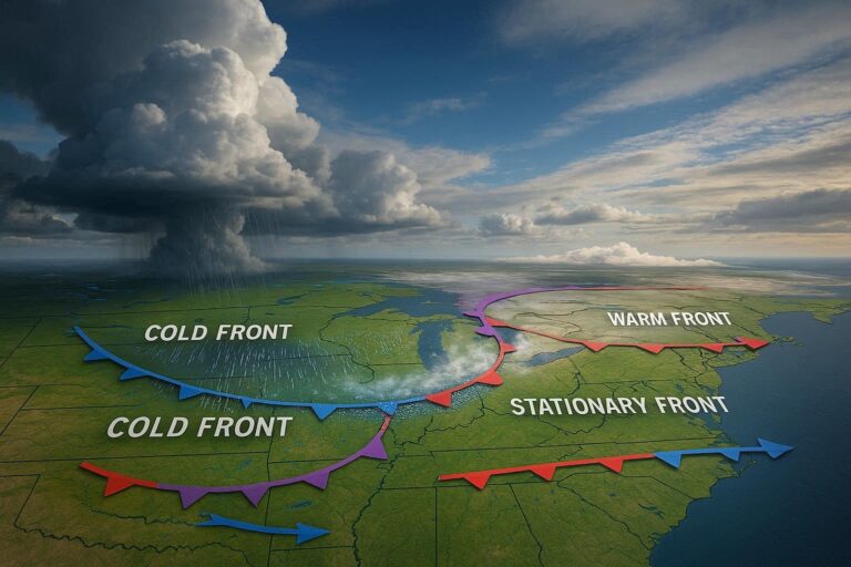
A weather front is a boundary between two air masses with different temperatures, humidity levels, and densities. The four main types—cold, warm, occluded, and stationary—each produce distinct weather patterns. Understanding these fronts explains much of the day-to-day weather variability experienced…

High and Low Pressure Systems and Their Interactions

OIG4 2 38

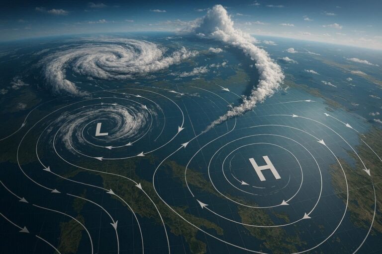
High and low pressure systems are the primary drivers of Earth’s weather patterns. High pressure systems bring stable, clear conditions, while low pressure systems generate clouds, precipitation, and storms. Their continuous interaction—shaped by temperature, geography, and the Coriolis effect—determines regional…

Mid-Latitude Cyclones

OIG2 2 38

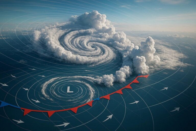
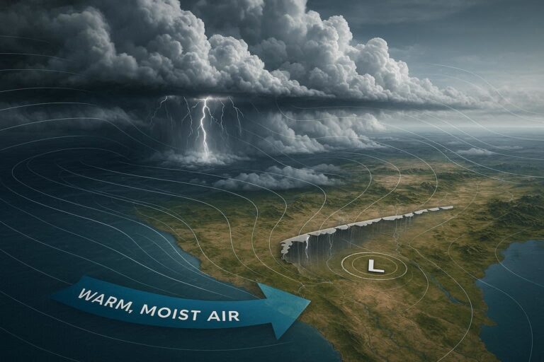
Mid-latitude cyclones are large-scale, low-pressure weather systems that form between 30° and 60° latitude. Driven by temperature contrasts between polar and tropical air masses, these cyclones produce much of the precipitation and severe weather experienced across the temperate regions of…

Polar Vortex

OIG3 85

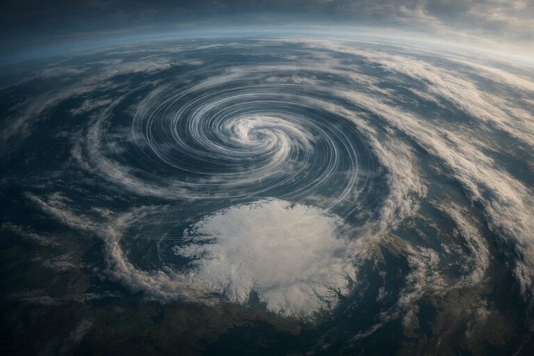
The polar vortex is a large area of low pressure and cold air surrounding Earth’s poles. When it weakens or becomes disrupted, frigid Arctic air spills southward into mid-latitudes, triggering extreme winter cold events across North America, Europe, and Asia.…

Jet Stream

OIG3 1 62

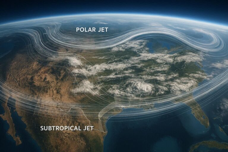
The jet stream is a fast-moving band of air in the upper atmosphere, typically flowing west to east at speeds of 100–250 mph. It shapes daily weather, steers storms, and influences seasonal climate patterns across the Northern and Southern Hemispheres.…

Blocking Highs and Omega Patterns

OIG1 92

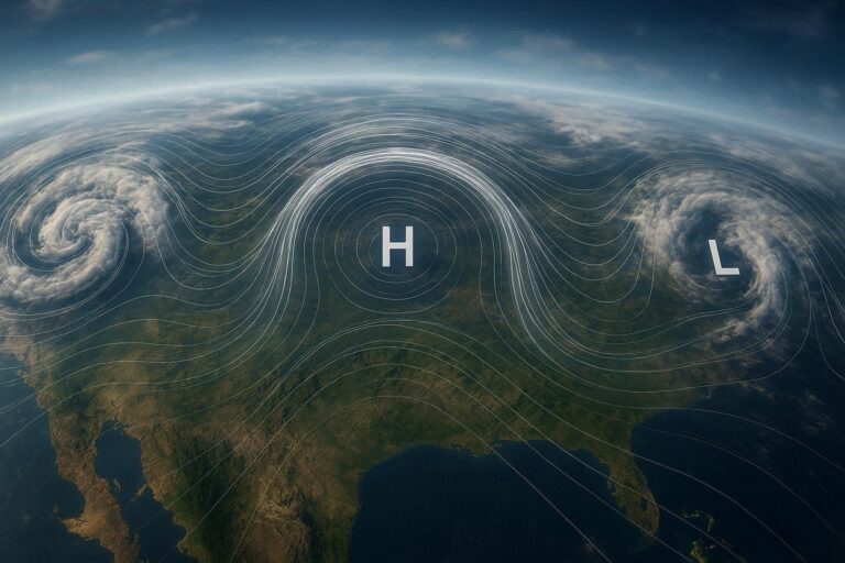
Blocking highs are persistent high-pressure systems that disrupt normal atmospheric flow, causing prolonged weather extremes. Omega patterns are a specific type of blocking configuration shaped like the Greek letter Ω. Both phenomena can last days to weeks, triggering heatwaves, floods,…

Monsoon Systems in Synoptic Meteorology

OIG1 2 35

Monsoon systems are large-scale seasonal wind reversals driven by differential heating between land and ocean surfaces. In synoptic meteorology, they are analyzed through pressure gradients, jet streams, and moisture transport patterns that collectively govern precipitation cycles across tropical and subtropical…