
Belize

Belize is a small Central American country on the Caribbean Sea, bordered by Mexico to the north and Guatemala to the west and south. Its geography splits into two zones: a low-lying northern and coastal plain built on limestone, and…
Belize is a small Central American country on the Caribbean Sea, bordered by Mexico to the north and Guatemala to the west and south. Its geography splits into two zones: a low-lying northern and coastal plain built on limestone, and…

Guatemala occupies a compact but extraordinarily varied stretch of Central America, wedged between Mexico, Belize, Honduras, El Salvador, the Pacific Ocean, and a narrow slice of Caribbean coastline. Few countries pack so much geographical contrast into so little space. Smoking…

Honduras: Geography, People, Economy, Environment, and Culture Honduras occupies a wide stretch of the Central American isthmus between the Caribbean Sea and the Pacific Ocean, and its geography explains much of how the country developed. Rugged mountains split the interior…

El Salvador sits along the Pacific edge of Central America, wedged between Guatemala and Honduras on a strip of land shaped almost entirely by volcanoes. It is the smallest sovereign country on the Central American mainland, yet its geography carries…

Nicaragua sits at the physical and geological heart of Central America, a country shaped as much by fire as by water. Its volcanoes built its mountains, its mountains created its lakes, and its lakes decided where its cities would rise.…

Costa Rica sits on a narrow strip of land between two oceans, and that single fact explains more about the country than almost any other. This small Central American republic — smaller than the U.S. state of West Virginia —…

Panama occupies one of the most geographically consequential strips of land on Earth. It is a sovereign country at the southern end of Central America, forming a narrow isthmus that links North America and South America while separating the Caribbean…
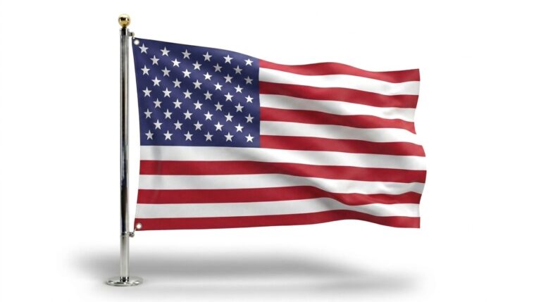
The United States of America covers an enormous stretch of North America, extending from the Atlantic coast in the east to the Pacific coast in the west, from the Canadian border in the north to Mexico and the Gulf of…

Puerto Rico sits at a crossroads. Geographically, it belongs to the Caribbean’s Greater Antilles. Politically, it belongs to the United States, but not in the same way Ohio or California does. This dual identity — Caribbean island, American territory —…

The U.S. Virgin Islands sit in the northeastern Caribbean as one of the most geographically distinctive territories under the American flag. This small cluster of islands blends volcanic mountains, coral reefs, and centuries of Danish and Caribbean history into a…